Krishi Vigyan Kendra (KVK) Profile |
Krishi Vigyan Kendra, Aron (Guna) |
|
Krishi Vigyan Kendra, Guna was established in the year 1994 under the jurisdiction of JNKVV, Jabalpur and since 2008 KVK is working under the jurisdiction of RVSKVV, Gwalior, which is situated at Aron Tehsil Block, Raghogarh Road, 35 KM away from district head quarter. KVK Guna is working for Socio-economic up-liftment of the farmers within district through improved scientific agricultural technological intervention. District Guna is situated under agro-climatic zone of Madhya Pradesh. Geographically Guna is lying between Eastern longitude 23.530-25.070 and North Latitude 76.480-78.170 at M.S.L 457-459. Total Geographical area of the district is 6,30,766 ha and it falls under the agroclimatic zone Gird Zone VII . The normal rainfall of the district is 922.66 mm, Rainy days 45 and Cropping Intensity 150.31 %. The climate is Tropical dry having sub humid (Semi Arid) and Soil type is Laterite Medium Black [Loamy (39%) and Clayey (61%) ] with the total population 12,40,938 |
Krishi vigyan Kendra, Ashok Nagar |
|
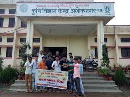
Krishi Vigyan Kendra Ashoknagar was established july 2007 under the jurisdiction of JNKVV, Jabalpur which his further transferred to RVSKVV, Gwalior after division of university in august 2008. KVK Ashoknagar comes under the agro climatic zone i.e. grid agro climatic zone. Ashoknagar district consist four blocks like Ashoknagar Ishagarh, Chanderi and Mungawali. and 7 Tehsils Ashoknagar, Chanderi, Isagarh, Mungaoli, Shadora, Nai Saray, Piprai KVK is working for socio economic upliftment farmers. Ashoknagar district having shallow to medium deep black cotton soil. Average annual rainfall of the district is 882 mm. |
Krishi vigyan Kendra, Badwani |
|
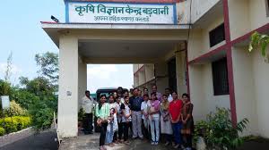
Krishi Vigyan Kendra, Badwani established during August 2006. KVK is working under Jurisdiction of RVSKVV, Gwalior, which is situated at Badwani – Indore Road 8 KM away from district head quarters. KVK Badwani is working for Socio-economic up-liftment of the farmers within district through improved scientific agricultural technological intervention. The Badwani is predominantly tribal district comes under XI Nimar Vally Agro-climatic Zone. The normal rainfall of the district is 773 mm Yearly. Total geographical area of district is 529846 ha Total Population 13,85,659.. Badwani district Latitude 21º 37 to 27 º 22 North Longitude 74º 37 to 75º 37 East. Representing soil is Medium Black Soil. Cotton, Jowar, Maize, Wheat and Chilli is the Major crops of Badwani district |
Krishi Vigyan Kendra, Bhind |
|
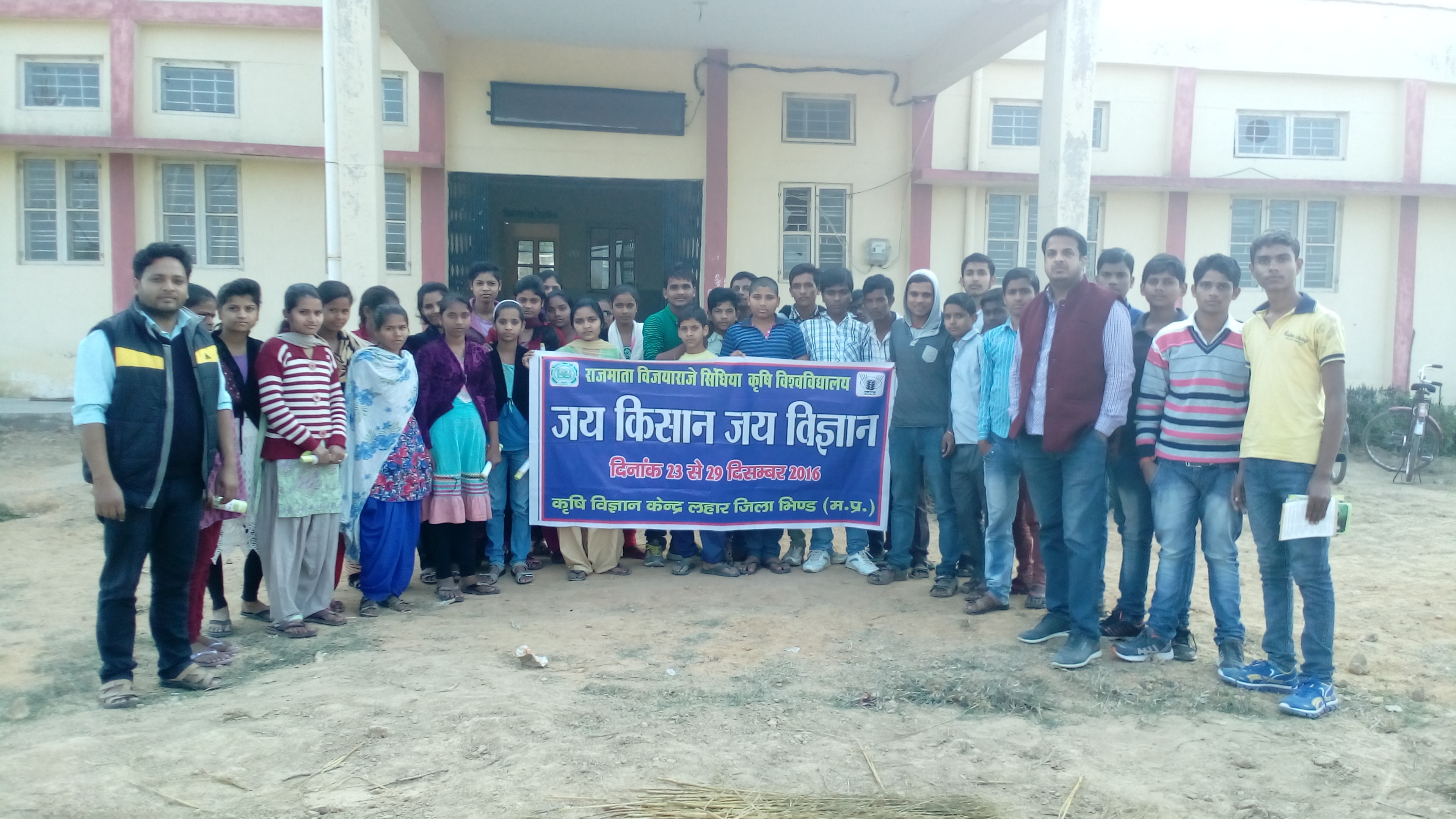
Krishi Vigyan Kendra Lahar, Bhind was established by ICAR in 2005 under host institute RVSKVV, Gwalior.The overall climate varies from semi-arid to sub-humid with hot dry summer and cool winter along with 624.45mm mean rainfall.The KVK functioning in gird zone of the state in which soil type un-dulated alluvial soil. Temp. Max 50c, Min 20C. Major crops in the district for Kharif- sesame,Pearl millet, sorghum,pigeon-pea, Black gram, Green gram, Paddy Rabi- Crops:- Wheat,Gram,Mustard, Lentil, Pea, Sugarcane Zaid –Green-gram, Vegetables: Brinjal, Tomato, Potato, Green-Vegetable, Pea. Spice:Onion, Chilli, Garlic, Coriander Fruits:Jackfruit, Ber, Aonla, Guava, Citrus and Animals- Buffaloes, goat,sheep, and desi cows |
Krishi Vigyan Kendra, Datia |
|
District Datia is situated under agro-climatic zone of Madhya Pradesh. Geographically Datia is laying between 78027’39.28’’ east longitude to 25039’25.24’’ North Latitude. Average height of Datia from Mean sea level is 218 meter. The district has been divided in four tahseel namely Datia, Indergarh, Seondha and Bhander, which is further distributed in three developmental blocks. Total number of 641 villages of District Datia has been divided in to 281 Gram Panchayats. The census shows that 6.64 lakh population of district comprises 25 % scheduled cast and 1.64% scheduled tribes with 71% literacy. The population density of district is 224 peoplekm2 whereas, 80% of population living in villages with 72% small and marginal farmers. The district has subtropical climatic condition with 742.9 mm rain fall and 48-51 rainy days per annum. The average minimum temperature 2.20C of Datia occurs in the month of December and the maximum temperature 42.70C is recorded in the month of May. Similarly relative humidity of district varies from 31 to 90.8 % during the year. Total geographical area of district is 2.95 lakh ha out of which only 66% is cultivable land with 147 % cropping intensity. Irrigation area is about 73.20% of total cultivable land in which, 61.46% is irrigated through rajghat canal and rest 11.47% is covered by open well, tube well and ponds etc. Three type of soil i.e. light (6.20%), medium (25.20%) and heavy (68.60%) found in the district. Most of soils are low in organ |
Krishi Vigyan Kendra, Dewas |
|
Krishi Vigyan Kendra (Farm Science Center) is a noble concept developed by Indian Council of Agricultural Research (ICAR) as primary links for the farmers to know about the agricultural technologies being generated by National Agricultural Research System (NARS). Krishi Vigyan Kendra (KVK) works at the grass-root level as vocational training institution to bridge the gap between the available technologies and their application to increase production and productivity. The activities of the KVK include on-farm testing to assess and refine the technologies in order to develop location specific agricultural technologies, frontline demonstrations to exhibit production potentials of the technologies on the farmers’ fields, training of farmers to update their knowledge and skills in improved agricultural technology, and training of extension personnel to orient them in the frontier areas of technological development. Krishi Vigyan Kendra in Dewas district was established by the ICAR to augment the farmers with latest technological knowledge. Mandate and Functions. |
Krishi Vigyan Kendra, Dhar |
|
Establishment of KVK KVK project was started in 1974 by Indian agricultural research council (ICAR) with an object of delivering latest agricultural technology to the farmers. The main object of this project is to deliver the latest technical knowledge to the farmers and it is based on the law of learning through observing work experience and by doing itself. KVK, Dhar was started wide Sanction Order No.. 5-2299AE-II Date 08.05.2002 May 2002 since then kvk is progressive towards development. The activities of the KVK include on-farm testing (OFT) to assess and refine the technologies in order to develop location specific agricultural technologies, frontline demonstrations (FLD) to exhibit production potentials of the technologies on the farmers’ fields, training of farmers to update their knowledge and skills in improved agricultural technology, and training of extension personnel to orient them in the frontier areas of technological development. A view of office building Profile of Dhar District Dhar district located in the western part of (M.P.) is one of the most under developed district of the M.P. State. Dhar district of Indore division lies in central part of Malwa and Nimar region. Dhar district is a important agriculture district in state under. Malwa Nimar and Jhabua hills climatic Zone. There are two crop zone Cotton zone Soybean zone. Soil is mainly loamy and clayey. Agro Eco Situation of Dhar District Agro-Ecological Situation Characteri |
Krishi Vigyan Kendra, Gwalior |
|
Krishi Vigyan Kendra Gwalior, was established by ICAR in 1999 under the JNKVV Jabalpur. After bifurcation of JNKVV presently the KVK functioning under the jurisdiction of RVSKVV, Gwalior. The overall climate various from semi-arid to sub-humid with hot dry summer and cool winter along with 600-1000 mm mean rainfall. The KVK functioning in gird zone of the state in which soil type alluvial, medium black, mixed red black, red and yellow. |
Krishi Vigyan Kendra, Jhabua |
|
Krishi Vigyan Kendra, Jhabua was established by ICAR in 1985 under the JNKVV, Jabalpur. After bifurcation of JNKVV presently the KVK Jhabua functioning under the jurisdiction of RVSKVV, Gwalior. The climate is semi-arid with annual average rainfall 828 mm. The behavior of rainfall is generally abnormal, erratic and poses problems to the farmers. Maximum temperature is 45oC whereas minimum is 7oC. The main occupation of tribes is agriculture. The KVK functioning in 11th agro-climatic zone i.e. Jhabua Hills Zone of the state in which soil type Medium Black soil, Sandy loam soil (Red Yellow soil) skeletal soil. Achivment by KVK durring years 1.Best ICAR KVKS Zonal Award 2011 of Zone VII 2.Best ICAR KVKs National Award 2013 3.Mahindra Samridhi Award 2014 |
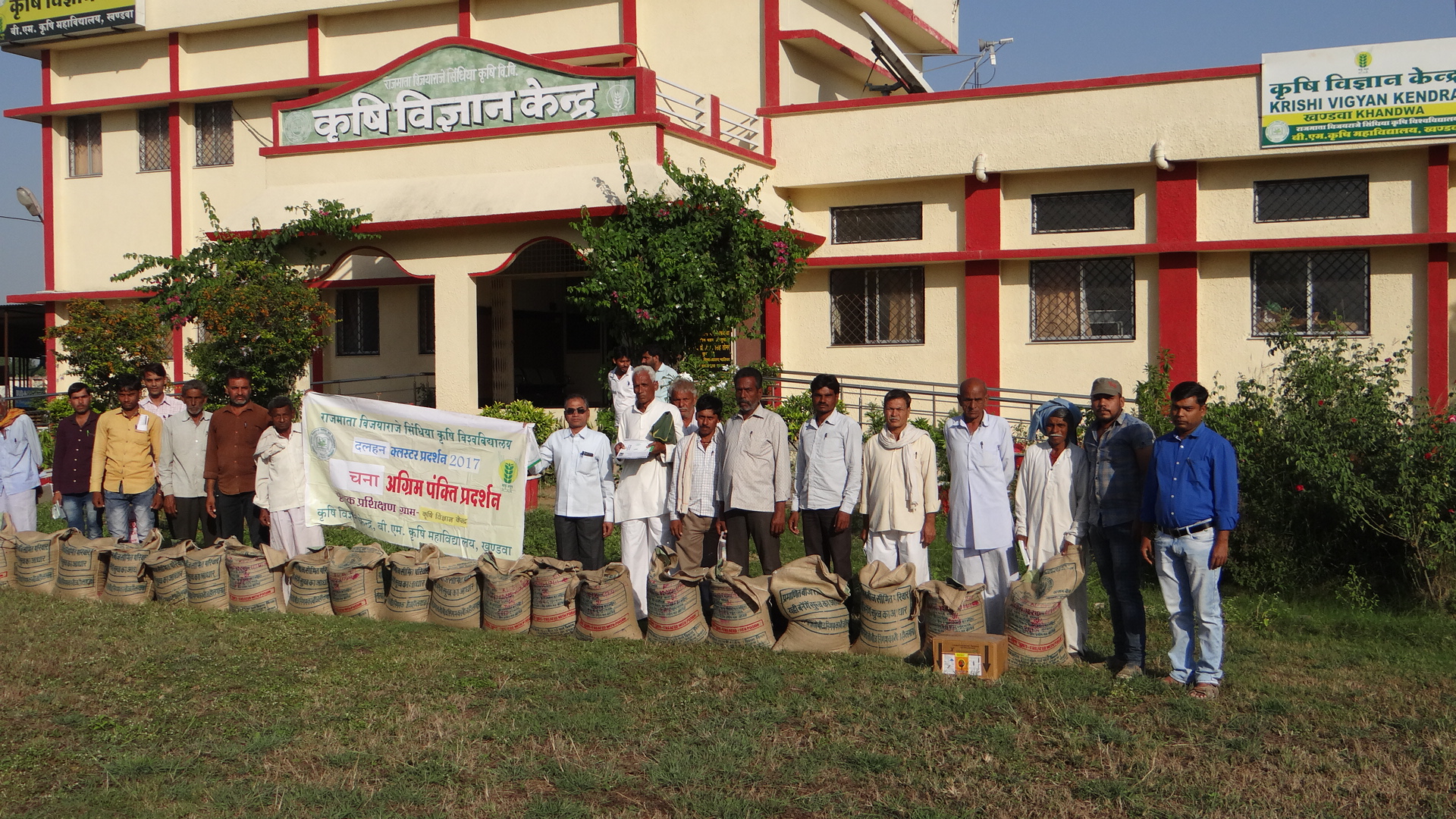
Krishi Vigyan Kendra, Khandwa |
|
1. Background Information 1.1 Geography and Climate Khandwa district falls under X Nimar Valley Agro-climatic Zone situated at 21.05o to22.25o North latitude and 75.57o to 77.13o East longitude. The uniqueness of the situation of the district lies in production of wide variety of agronomical as well as horticultural crops, the major crops of this belt being Cotton, Jowar, Soybean, Arhar, Chilli, Onion, and Colocasia in Kharif season and Wheat, Gram, Tomato, Onion, Potato, Cole crops spices in Rabi season. The Nimar Zone is the hottest belt of the country. The Maximum temperature range upto 430 to 460 C during summer season and minimum temperature fluctuates between 100C to 120C during winter season. The average annual rainfall is 835 mm. Generally monsoon commences from June and maximum rainfall is received during July-August. The total rainy days in Khandwa district ranged 24 to 54 days. The Nimar Zone has dry climate except during the South-West monsoon season. The Nimar Zone has 8.23% area of total geographical area of M.P. it has 63% total cultivable land, 32% forest area and 2% fallow waste land. Major source of irrigation in Nimar Zone is wells (59%), Canals (36%), tube wells (8%) and ponds (1%). Major holding sizes in Nimar Zone are large (6%), Medium (24%), semi medium (27%), small (26%) and margial (17%). The major soil type are shallow black, medium black, heavy black and light soil. The major crops of the zone are jower, maize, groundnut, soybean, moong, urad. |
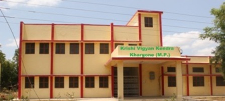
Krishi Vigyan Kendra, Khargone |
|
Krishi Vigyan Kendra, Khargone belongs to X number zone i.e. Nimar Vally Zone. The zone comprises of Khargone, Khandwa, Barwani, Harda and Dhar (Manawar, Dharampuri and Gandhwani tehsils). The Nimar Valley zone is predominantly tribal area. Khargone district is situated between 210 22’ and 220 33’ North latitude and 740 42’ and 770 20’ East longitude. The zone is characterized by hills as well as plain areas. The height ranges between 200-500 m from MSL and major part lies on uplands between the valley of Narmada and Tapti. The zone is surrounded by Malwa Plateau and Jhabua hills in North-West and Central Narmada Valley in East-North. The total area of Nimar Valley zone is 2535000 ha which is about 8.23% of the total geographical area of M.P. The total population of the zone is 4123780 out of which 10.61% belongs to SC and 43.22% to ST category. The male-female ratio is 952.4. The literacy percentage of the zone is 36.53%. The Nimar Zone is the hottest belt of the country. The maximum temperature ranges upto 430 to 460 C during summer season and minimum temperature fluctuates between 100C to 120C during winter season. The average annual rainfall is 835 mm. Generally monsoon commences from June and maximum rainfall is received during July-August. The total rainy days in Khargone district ranged 24 to 54 days. The Nimar Zone has dry climate except during the South-West monsoon season. The Nimar Zone has 8.23% area of total geographical area of M.P. It has 63% total cultivasion. |
Krishi Vigyan Kendra, Mandsaur |
|
KVK Mandsaur |
Krishi Vigyan Kendra, Morena |
|
Administrative Building Krishi Vigyan Kendra, Morena has very well developed and well furnished Administrative building having Seminar hall and Soil Science Laboratory. Seminar hall have audiovisual aids, Conference system and LCD projectors Farmers Hostel Krishi Vigyan Kendra, Morena has farmers hostel, where farmers stay during trainings and it can accommodate 50 persons. |
Krishi Vigyan Kendra, Neemuch |
|
Establishment of KVK: KVK Neemuch was sanctioned vide ICAR Order No.F.No.2-62000 AE-II dated 23-03-2006 under Jawaharlal Nehru Krishi Vishwa Vidyalaya,Jabalpur. The regular staff was appointed in 2007.Since 19-08-2008 the KVK has been declared under jurisdiction of Rajmata Vijayaraje Scindia Krishi Vishwa Vidyalaya, Gwalior. |
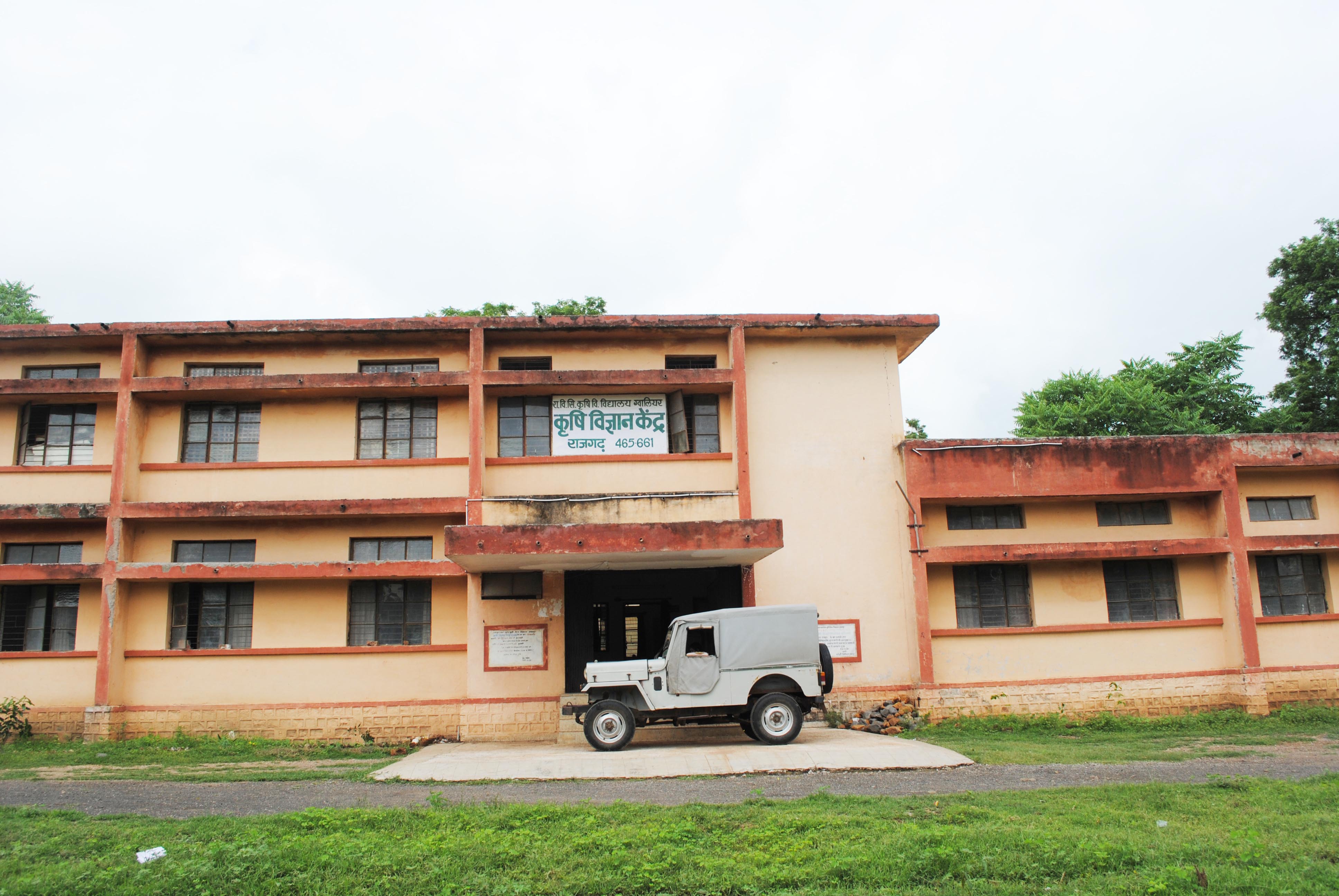
Krishi Vigyan Kendra, Rajgarh |
|
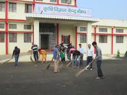
About District a. District profile in brief • Demographical information of district Year of sanction: April 1994 Total land with KVK (in ha) : 14.67 ha Rajgarh district comes under malwa plateau (Jowar-Cotton) of M.P. Main cropping season of this district is Kharif where grow soybean fallowed by maize and sorghum respectively. In Rabi farmers take wheat and gram where irrigation water is available. Rajgarh is situated at an elevation of 23.28-24.18 latitude and 76.11-77.20 longitude and altitude of 340 MSL. It lies in the Malwa plateau (Sorghum-Cotton zone).The district is divided in to the six blocks mainly. The district categorized of three main soil type- 1. Medium black Soil- 32%, pH 7.5-8.0 2. Heavy black Soil- 35%, pH 8.0 3. GravelSkeletal red soil with low water retention and higher erosion possibilityl- 33%, pH 7.5 The average rain fall of the district is 986 mm |
Krishi Vigyan Kendra, Shajapur |
|
Shajapur District is a part of the Central Madhya Pradesh Plateau- Ratlam plateau Micro region according to the present scheme of regional delineation. The district is situated in the northwestern part of the state and lies between latitudes 32"06 and 24" 19 North and longitude 75" 41 and 77" 02 East. The district is bounded by Ujjain and Agar-Malwa in the west, Dewas and Sehore in the South, Rajgarh in the North and Sehore district in the east. Shajapur district in Ujjain division was brought during 1981 census. The district is identified from the Headquarter town Shajapur named after honor of Shahjahan the Moughal Emperor who halted here in 1640. It is said that the original name was Shahjahanpur, which subsequently reduces to Shajapur. Since the formati on of the Gwalior State, it has remained a district. |
Krishi Vigyan Kendra, Sheopur |
|
|
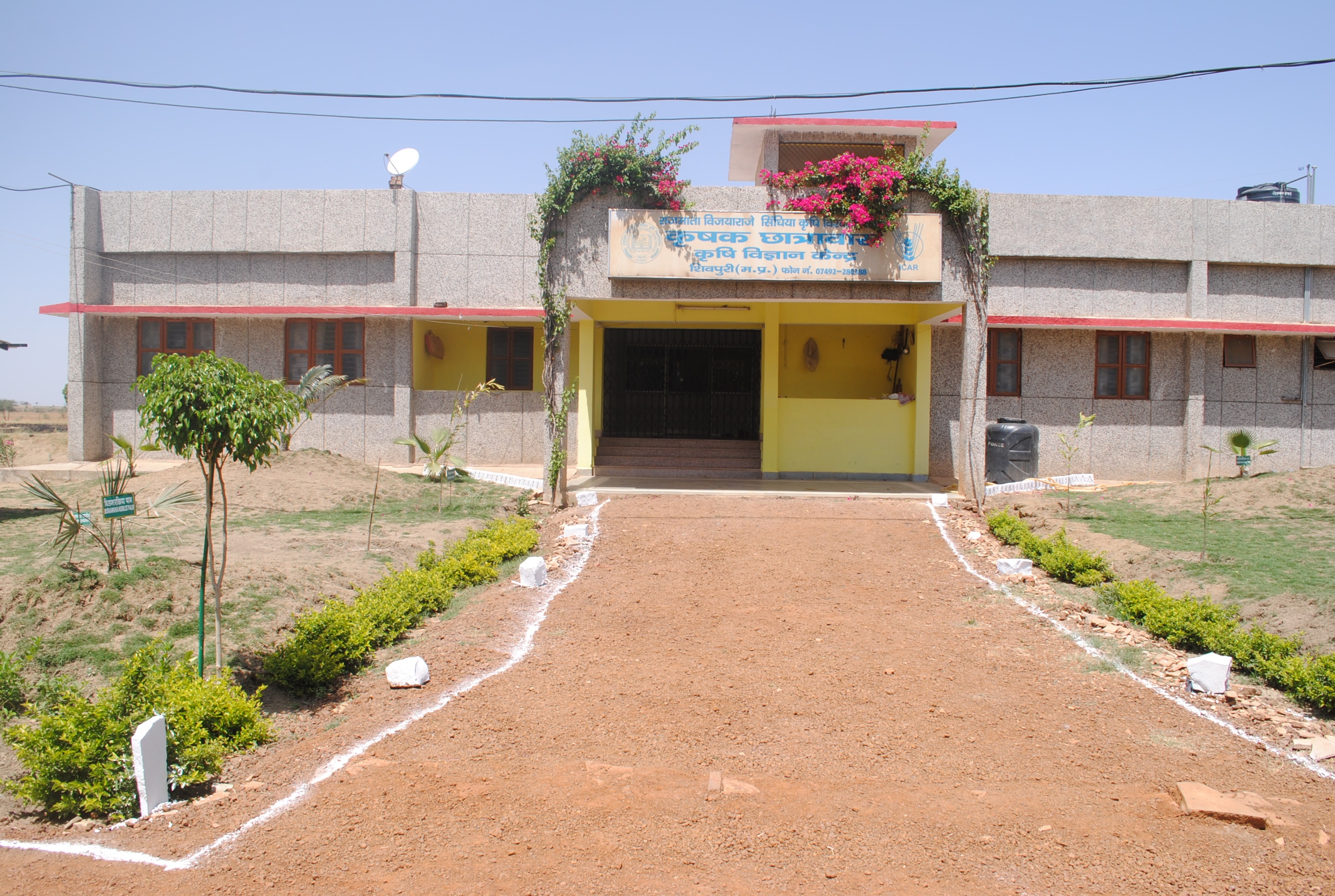
Krishi Vigyan kendra, Shivpuri |
|
|
Krishi vigyan Kendra, Ujjain |
|
Krishi Vigyan Kendra, Ujjain was established vide letter no. F. No. 3-7693.AE.II (Pt.II) dated 24.02.2004 under the Zone VII. Ujjain comes under the Agro-climatic zone i.e.Malwa Plateau Zone. The Agro-ecological region 5 in the Malwa Plateau as per NBSS LUP (1993) has two distinct characteristic feature i.e. I5D2 (Central highlands with medium to deep black soils, semiarid climate and growing period 90-150 days) in Indore, Dhar, Ujjain, Ratlam, Mandsaur, Neemuch, north west part of Shajapur and western part of Dewas district, whereas in eastern part of Dewas, Shajapur and Rajgarh district it is I5C3 (Central highlands with medium to deep black soils, semiarid climate and growing period 180-210 days). |
Krishi Vigyan Kendra, Agar Malwa |
|
|
(ISO 9001-2008 Certified)